Top 10 Tips for Guessing Countries from Street View
Master the art of identifying countries from street-level imagery. Learn to read road signs, license plates, vegetation, and architectural clues like a pro.
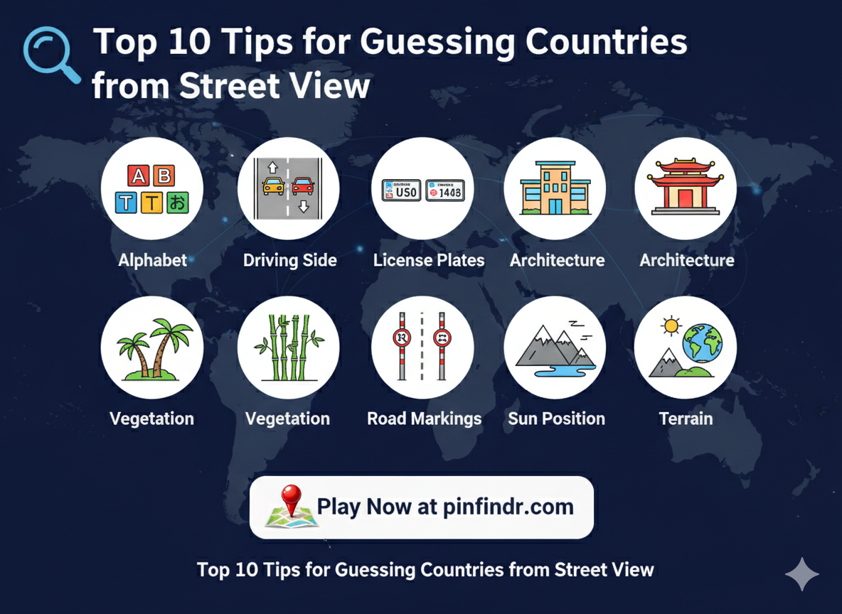
Top 10 Tips for Guessing Countries from Street View 🔍
Want to climb the PinFindr leaderboard? The secret is learning to read the visual clues hidden in every street-level image. Here are 10 expert tips that will dramatically improve your guessing accuracy.
1. 🔤 Read the Alphabet
The writing system on signs is your biggest clue. Instantly narrow down the region:
| Script | Likely Countries |
|---|---|
| Latin (A-Z) | Europe, Americas, Turkey, Australia |
| Cyrillic (Б, Д, Ж) | Russia, Ukraine, Bulgaria, Serbia |
| Arabic (ع، ب، ت) | Middle East, North Africa |
| Chinese/Japanese/Korean | East Asia |
| Thai/Khmer/Lao | Southeast Asia |
| Greek (Α, Β, Γ) | Greece, Cyprus |
| Devanagari | India, Nepal |
Pro tip: If you see Cyrillic with "Ъ" or "Ь", it's likely Russian. Bulgarian Cyrillic looks slightly different.
2. 🚗 Check the Driving Side
This instantly eliminates half the world:
- Right-hand traffic (most countries): Europe, Americas, Turkey, China, Russia
- Left-hand traffic: UK, Japan, Australia, India, South Africa, Thailand, Indonesia
Look at which side of the road cars are driving on, or check the position of the steering wheel in parked cars.
3. 🚘 Study License Plates
Every country has a unique plate format:
- European blue strip on the left = EU country (check the country code!)
- US plates = Colorful, state-specific designs
- Turkish plates = Start with city code (34 = Istanbul, 06 = Ankara)
- Russian plates = Cyrillic characters with region code
- Japanese plates = Distinct colored rectangles (white, yellow, green)
If you can zoom in on a plate, it often tells you the exact country or even city.
4. 🏗️ Analyze Architecture
Buildings tell stories about where you are:
Europe
- Northern Europe: Wooden houses, red/yellow paint, steep roofs
- Mediterranean: White stucco walls, terracotta roofs, balconies
- Eastern Europe: Soviet-era concrete block apartments
Americas
- USA: Wooden frame houses, large garages, wide streets
- Latin America: Colorful facades, iron window bars, flat roofs
Asia
- Japan: Compact houses, narrow streets, extremely clean
- Southeast Asia: Open-front shops, tin roofs, tropical vegetation
- Middle East: Flat-roofed buildings, sand-colored walls
5. 🌿 Read the Vegetation
Plants reveal climate zones:
- Palm trees: Tropical/subtropical regions
- Coniferous forests (pine, spruce): Northern hemisphere cold zones
- Eucalyptus trees: Australia
- Bamboo: East and Southeast Asia
- Cacti and desert scrub: Mexico, US Southwest, North Africa
- Lush green rice paddies: Southeast Asia
- Olive trees: Mediterranean region
6. 🛣️ Decode Road Markings
Road infrastructure varies significantly:
- Yellow center lines: USA, Canada
- White center lines: Most of Europe
- Red/white road posts: Common in Scandinavia
- Blue road signs: France, Italy
- Green road signs: USA, Brazil
- Brown road signs: Tourist/historical sites (international)
The quality of the road also helps — well-maintained highways suggest wealthy nations, while dirt roads narrow down to developing regions.
7. ☀️ Use the Sun Position
The sun can tell you which hemisphere you're in:
- Sun in the south = Northern Hemisphere
- Sun in the north = Southern Hemisphere
Look at shadows — long shadows mean either high latitude or early/late in the day.
8. 🚌 Spot Unique Vehicles
Certain vehicles are region-specific:
- Tuk-tuks: Thailand, Sri Lanka, India
- Jeepneys: Philippines
- Yellow taxis (classic): New York, Istanbul
- Matatus (colorful minibuses): Kenya
- Right-hand drive cars on right-side road: Countries that import used Japanese cars (Myanmar, some African nations)
9. 📡 Look for Utility Infrastructure
Everyday infrastructure reveals a lot:
- Bollard styles vary by country (UK has distinctive round-top bollards)
- Power line types — wooden poles vs concrete vs steel towers
- Phone booths — Red = UK, Blue = Brazil
- Fire hydrant colors vary by country
- Mailbox styles are country-specific (red in UK, yellow in Germany, blue in USA)
10. 🗺️ Trust the Terrain
Landscape tells the final story:
- Flat, endless agricultural land: USA Midwest, Ukraine, Argentina Pampas
- Fjords and mountains: Norway, New Zealand
- Red soil: Brazil, parts of Africa, Australia
- Volcanic terrain: Iceland, Hawaii, Canary Islands
- Desert with dunes: Sahara, Arabian Peninsula
- Terraced rice fields: Southeast Asia, Southern China
🎯 Bonus: Quick Decision Framework
When you're playing Speed Run mode, use this rapid-fire checklist:
- Alphabet → Narrow to region
- Driving side → Eliminate half the world
- Vegetation → Determine climate zone
- Architecture → Pinpoint country
- Details (plates, signs) → Confirm guess
Practice these steps and you'll be making accurate guesses in seconds!
Ready to Practice?
Head to PinFindr and put these tips to the test. Start with Photo Guess mode for practice, then challenge yourself with Speed Run once you're confident.
Good luck, explorer! 🌍